
A mysterious force under Antarctica is changing how its ice melts
Scientists hope new, autonomous drones will reveal the geological secrets that have lain hidden beneath Antarctica’s ice for millions of years.
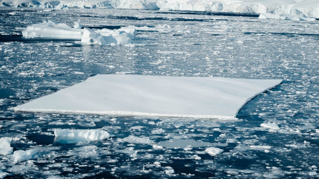
Deep under the Antarctic ice, geological forces are at work. Today’s water flows and volcanic activity affect how much the ice melts and how quickly. But what scientists are really concerned about are the dramatic, tectonic movements of the past.
The fundamental geological landscape sitting underneath Antarctica’s ice will change how quickly its ice melts as a result of climate change. The challenge is studying that landscape.
Enter the Windracers ULTRA drone: a new, fully autonomous aircraft designed to complete missions in extreme environments. The British Antarctic Survey (BAS) plans to use this drone to discover how historic tectonic events will affect ice melt in the future – and make more accurate predictions about it.
This technology will change the future of scientific monitoring in Antarctica and around the world, says Dr Tom Jordan, aero geophysicist at BAS. Over six previous trips to Antarctica, Jordan has been searching for things hidden at various depths beneath the ice – from the surface all the way down to the mantle.
“It’s going to be a really exciting project – it opens so many doors,” Jordan told BBC Science Focus. “Rather than compromise and do the best that we can with the available resources, it takes away that limit. Being able to do that in more places is really quite exciting.”
The ULTRA can carry large cargos of up to 100kg (220lb) – and uses 90 per cent less fuel than existing aircraft. It can travel distances of 1,000km (621 miles), allowing travel to remote locations.
“Antarctica is the least understood place on the planet,” said Jordan. In some places, no tectonic data exists at all – largely due to fuel restrictions.
The ULTRA will allow the scientists to build more comprehensive scans so that they can map what’s hidden beneath the ice.
In the future, artificial intelligence (AI)-driven swarms of these drones could be sent to Antarctica to complete co-ordinated, self-guided missions.
What are the scientists looking for under Antarctica?
The drone will carry three sensor systems (magnetic, gravity, and radar) to help the scientists build a clearer picture of the tectonic world under the ice.
Magnetic field sensors can detect the composition and patterns of different rocks, while understanding the gravitational fields of the rocks will help the scientists measure their density. Radar sensors measure ice thickness by pulsing radio echoes into it.
The drone is fitted with a removable floor to accommodate these sensors: a feature that allows it to be adapted for different purposes. (Elsewhere, the ULTRAs will be used for everything from wildfire monitoring and distributing humanitarian aid to remote parcel delivery).
The scientists will also use a spectral signal camera and high-resolution cameras to measure meltwater and monitor populations of wildlife living on Antarctica.
What will happen during the mission?
The drone is one of 10 that currently exist, and is already on its way to Antarctica aboard BAS’s research ship, the Sir David Attenborough.
Dr Jordan will be part of a team from BAS and Windracers heading to Antarctica in the first few months of 2024 to test the drone. They will live there for a month, in 24 hours of sunlight per day, before returning – hopefully, with confirmation of the drone’s success.
What they don’t want to find are areas where tectonic activity has created dips that allow the surface of the ice to sink below sea level. This would make the ice vulnerable to warm seawater, and therefore more rapid melting.
What they hope to find will come later, after the 2024 test mission. Jordan wants to definitively mark the ‘grounding line’ around Antarctica: the line that shows where the ice is retreating.
What does the drone look like?
A ‘quadcopter’, with horizontally mounted rotors on each corner, might be what typically springs to mind when someone mentions a drone, but the ULTRA is more like a light aircraft. It has a 10m (33ft) wingspan that’s as long as a small lorry, inside which is stored its fuel.
Its sleek, metallic body is smaller than a car – but it has a 700L ‘trunk’ much like a regular ‘hatchback’ vehicle. This cargo area is where the scientists will fit the sensors.
It can take off from any runway, including those on grass, dirt and ice, and needs just 100m (328ft) to get airborne.
The ULTRA weighs 300kg (660lb). Its wings and tail can be removed so that the field team can unpack it from its container – and repack it after its mission is completed.
The drone is fully autonomous and capable of flying without a pilot, on board and on the ground. However, there is a small remote control centre used to set the drone on its flight path, which consists of a laptop and radio.
About our expert
Dr Tom Jordan is an aero geophysicist at the British Antarctic Survey (BAS). He has been on six missions to Antarctica so far. His research has been published in journals Nature Reviews Earth & Environment, Nature Scientific Reports, and Tectonophysics.

- By Noa Leach
- Published: October 31, 2023


Leave a Reply
Want to join the discussion?Feel free to contribute!