Rescued radar images reveal what’s under the ice
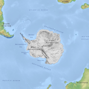
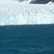
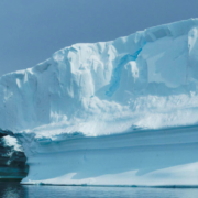
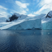
Scientists in the US are about to share some two million newly digitised images from radar surveys of Antarctica conducted in the 1960s and 1970s. The images let researchers ‘see’ hundreds or even thousands of metres down through the ice to the bedrock below. This should provide new insights into how the ice sheet has evolved over time and what may happen as the climate warms. Read more in Nature online.


Leave a Reply
Want to join the discussion?Feel free to contribute!