
Scientists Are Uncovering Ominous Waters Under Antarctic Ice
Scientists Are Uncovering Ominous Waters Under Antarctic Ice
![]() A super-pressurized, 290-mile-long river is running under the ice sheet. That could be bad news for sea-level rise.
A super-pressurized, 290-mile-long river is running under the ice sheet. That could be bad news for sea-level rise.
For all its treacherousness and general inclination to kill you, Antarctica’s icy surface is fairly tranquil: vast stretches of miles-thick whiteness, with not a plant or animal to speak of. But way below the surface, where that ice meets land, things get wild. What scientists used to think was a ho-hum subglacial environment is in fact humming with hydrological activity, recent research is revealing, with major implications for global sea-level rise.
Researchers just found that, at the base of Antarctica’s ice, an area the size of Germany and France combined is feeding meltwater into a super-pressurized, 290-mile-long river running to the sea. “Thirty years ago, we thought the whole of the ice pretty much was frozen to the bed,” says Imperial College London glaciologist Martin Siegert, coauthor of a new paper in Nature Geoscience describing the finding. “Now we’re in a position that we’ve just never been in before, to understand the whole of the Antarctic ice sheet.”
Antarctica’s ice is divided into two main components: the ice sheet that sits on land, and the ice shelf that extends off the coast, floating on seawater. Where the two meet—where the ice lifts off the bed and starts touching the ocean—is known as the grounding line.
But the underside of all that ice is obscured. To find out what’s going on below, some scientists have hiked across glaciers while dragging ground-penetrating radar units on sleds—the pings travel through thousands of feet of ice and bounce off the underlying seawater, so the researchers can build detailed maps of what used to be hidden. Others are setting off explosions, then analyzing the seismic waves that come back to the surface to indicate whether there’s land or water below. Still others are lowering torpedo-shaped robots through boreholes to get unprecedented imagery of the underside of the floating ice shelf. Up in the sky, satellites can measure minute changes in surface elevation, which indicates the features below—a swell, for instance, might betray a subglacial lake.
This new research on the subglacial river used radar data from aircraft flying over Antarctica. The scientists paired that data with complex modeling of the area’s unique “basal” hydrology, like how water is expected to move underneath miles of ice.
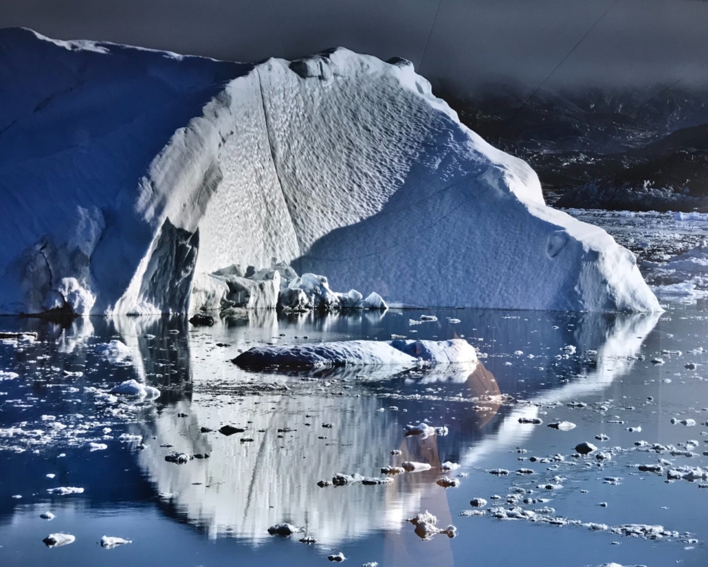
As the scientists found out, it moves very weirdly. Because there can be miles of ice resting on Antarctica’s land, and because the region isn’t warming as fast as the Arctic, the ice doesn’t melt the way you might think, from the sun striking the surface. That’s the way it works in places like Greenland, where ever-warming temperatures are creating lakes on the surface of the ice, and that water then leaks down through crevasses, known as moulins. For the rest of this article ➧➧➧
Details
Publication status:
In Press – Climate Change
Author(s):
Authors:
Date:
08 Nov 2022
Journal/Source:
WIRED / www.wired.com


Leave a Reply
Want to join the discussion?Feel free to contribute!