
Stunning new high-res map of Antarctica
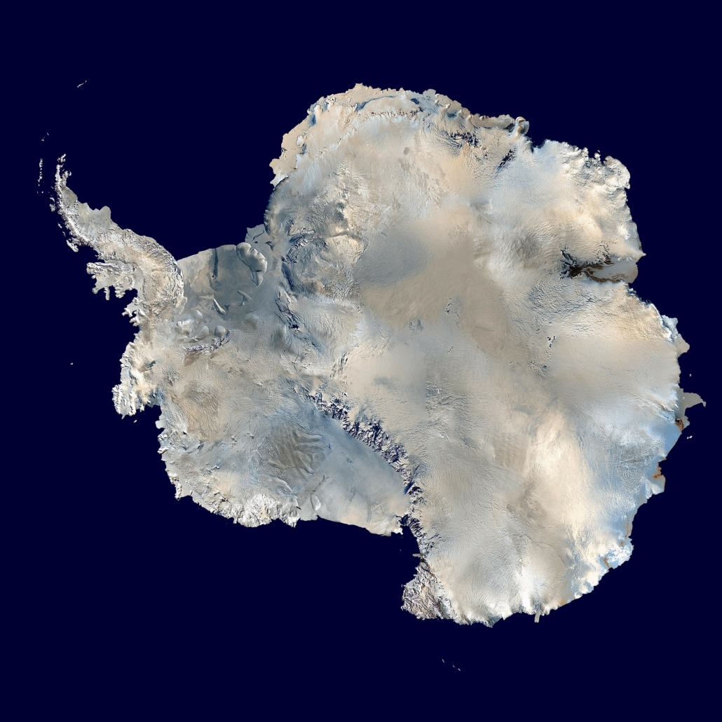
A team from the University of Minnesota has recently published a stunning new map of Antarctica: the Reference Elevation Model of Antarctica. The map shows the continent’s features in extraordinary detail and will be a powerful tool for scientists monitoring the Antarctic glaciers and ice sheets. LiveScience published an associated article with background on the project. Read it here.


Leave a Reply
Want to join the discussion?Feel free to contribute!